Hiking Beyond Mt. Tapyas: Discovering Busuanga on Foot
Ask where to hike in Coron and almost everyone will give you the same answer:
Mt. Tapyas.
It's a great viewpoint and well worth climbing. But if you actually enjoy hiking, don't stop there.
Busuanga Island has mountains, jungle trails, rivers and waterfalls that reveal a completely different side of the destination.
Mt. Tapyas: Start Here
Mt. Tapyas is the easiest introduction.
The climb begins directly from Coron Town and follows a long staircase to the viewpoint overlooking Coron Bay, Coron Island and the surrounding islands.
It isn't really a wilderness hike—you're climbing constructed steps—but it's accessible, requires no guide and is particularly beautiful around sunrise or sunset.
For many visitors, that's enough.
For hikers, it's the warm-up.
Mt. Dalara: The Real Hike
Look behind Mt. Tapyas and you'll see a much larger mountain.
That's Mt. Dalara, also written Darala or Tundalara.
At roughly 600–700 metres, it is generally regarded as the highest mountain on Busuanga Island.
And this is completely different from Mt. Tapyas.
Expect several hours of hiking through vegetation, uneven terrain and exposed sections, with possible river crossings depending on the route and conditions.
The reward is a spectacular elevated view across Busuanga and the surrounding Calamian Islands.
This isn't something to attempt casually in flip-flops.
Start early, bring plenty of water, proper footwear and sun protection. Checking the route locally and arranging a guide is sensible, particularly if you don't know the trail.
Walk to Busuanga's Waterfalls
Not every hike needs to involve climbing a mountain.
Busuanga Municipality has several waterfalls reached by forest trails.
Concepcion Falls is among the easiest, involving only a relatively short walk through vegetation.
For something more adventurous, other waterfalls require longer approaches and rougher terrain.
Water levels also change dramatically with the seasons. A waterfall that is impressive after rain may be considerably quieter during the dry months.
Explore Beyond the Famous Trails
This is where Busuanga becomes interesting for adventurous travelers.
There are hills, forest tracks, rivers and viewpoints around both the east and west sides of the island that receive very few international visitors.
But don't assume every visible path is a public hiking trail.
Ask locally before entering unfamiliar land, respect private property and communities, and use a local guide when exploring remote areas.
When Should You Hike?
Early morning is best.
Busuanga is hot and humid, and exposed mountain sections can become exhausting around midday.
During the rainy season, trails can become muddy and slippery, while river crossings may change considerably after heavy rain.
Carry water, mosquito repellent, sunscreen and footwear with good grip.
See Busuanga From Above
Coron's famous landscapes are usually experienced from the sea.
Hiking reverses the perspective.
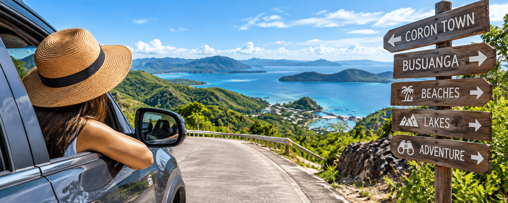
Instead of looking up at the mountains from a boat, you're standing above the coastline looking down across forests, bays and islands.
Climb Mt. Tapyas for the photograph. Hike deeper into Busuanga for the adventure.
Discover more ways to explore Coron and Busuanga with ilovecoron.com.
Because I Love Coron.